


Introduction
The most obvious ways to find your location in Sweden is with road numbers and city names, which is what is explained in the easy guide.
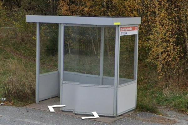
In rural areas, you will quite often find bus stops. Each of the 21 regions of Sweden has is own transport network. It is possible to recognize signs ans logos, in some region even the bus shelters are specific.
In urban areas, phone numbers can be handy.
Finally, some municipality suffixes are more common in certain areas.
Roads
The blue roads numbers are organized from south to north :
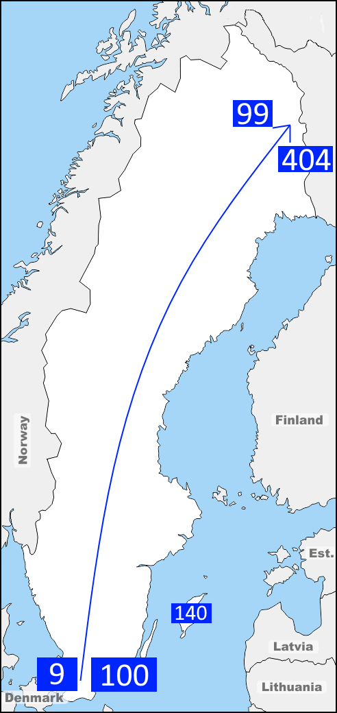
-national roads ranging from 9 to 99.
-regional roads ranging from 100 to 404.
Notes :
-The roads with similar numbers are usually close to each other.
-road 136 is on ötland island, roads 140s are on Gotland island.
Buses
Buses are the most usefull source of information if you don't have a road unmber or a signpost with big cities.
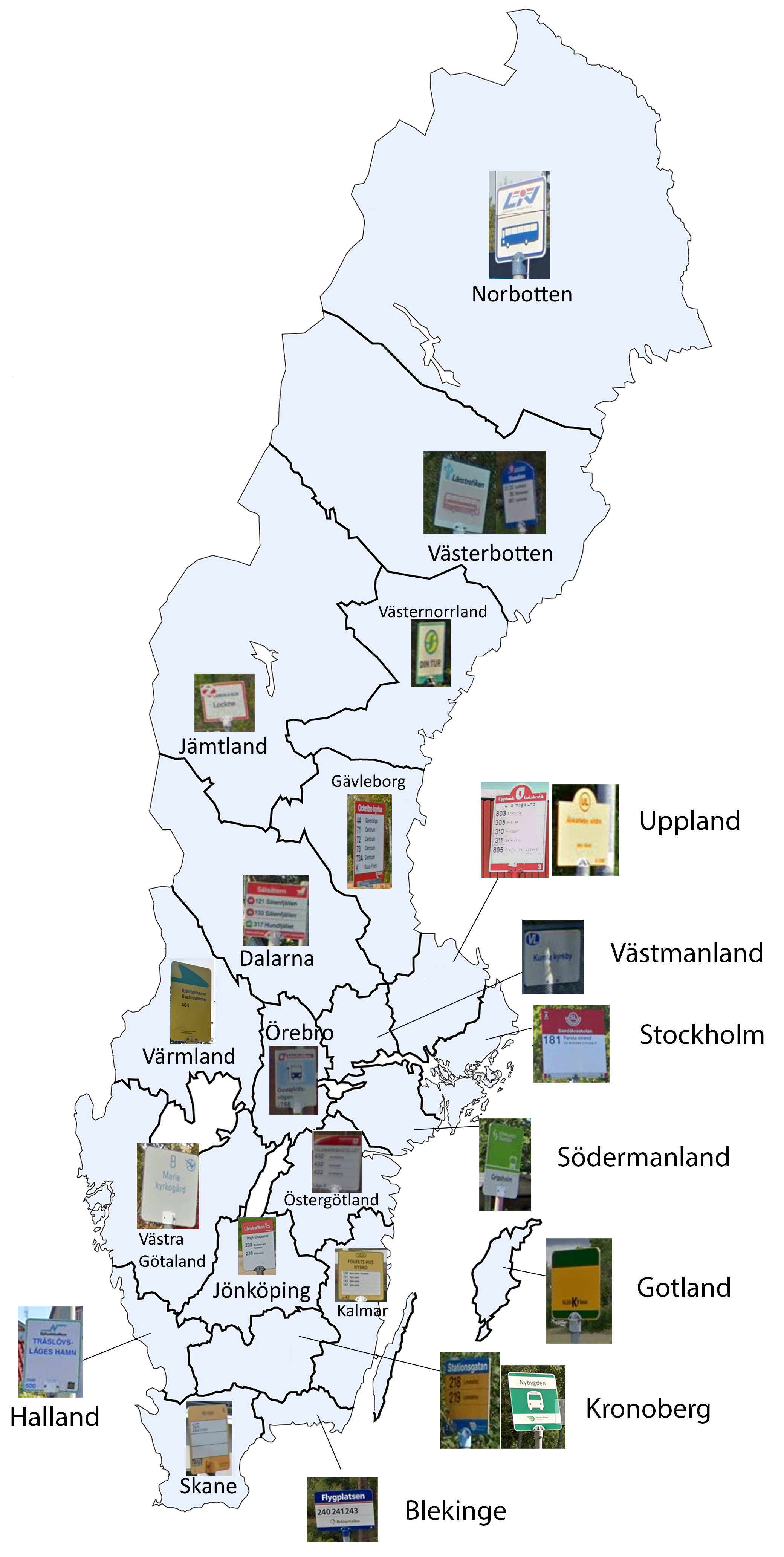
Uppland and Stockholm are easy to remember, since the logo has the initials of the region :

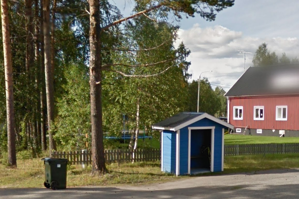
Some bus shelters are also easily recognizable : In Örebro there's a fluorescent yellow line, in Västernorrland bus shelters are blue wooden huts.
Here are 2 maps made for training : Sweden by bus and Sweden bus signs.
Phone numbers
You will not find many phone numbers, but if you want to know here is the map of the area codes :
07 is for cell phones.
You can use the Phone number quiz to train.
Region names
They dont appear very often in the streetview, but here's a Seterra quiz if you want to learn them.
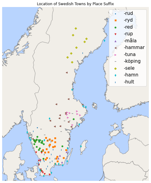
City suffixes
A map with the location of cities depending on their suffix :